80 Corridor
Providing accessible and convenient transportation options for residents along one of the busiest corridors in the Bay Area.
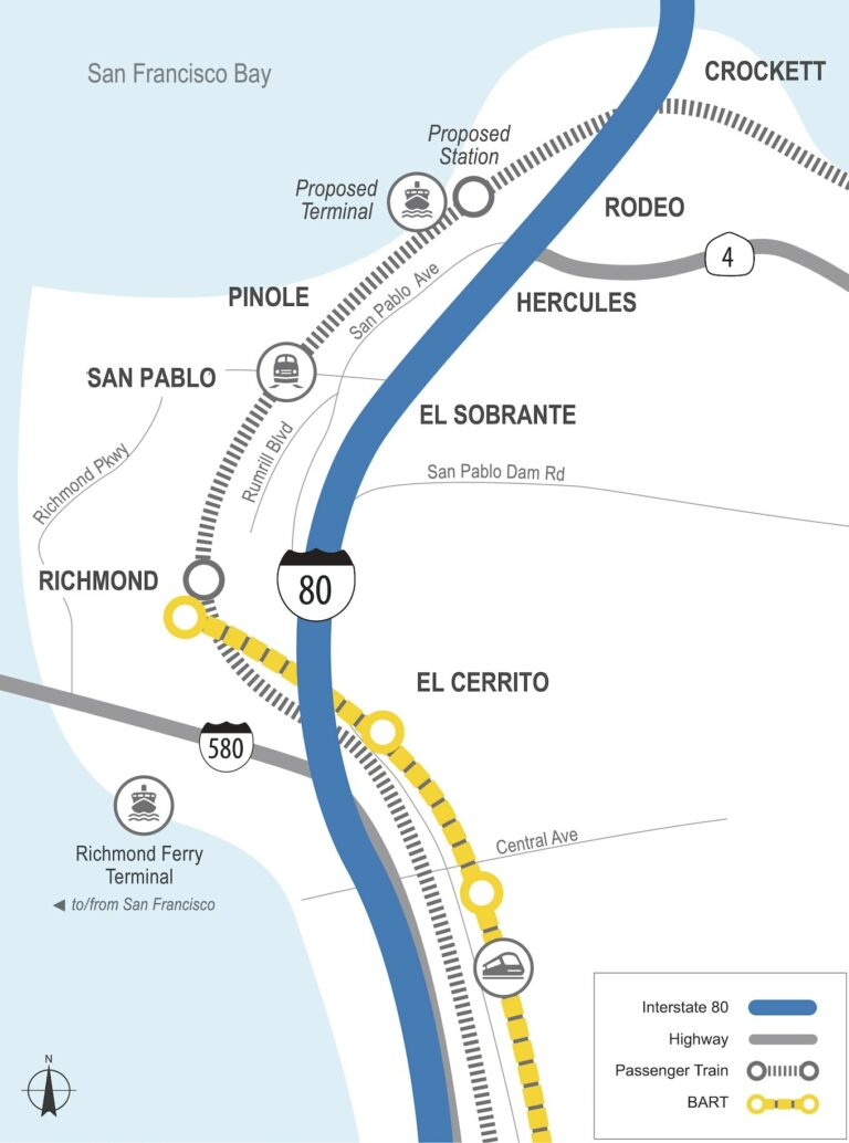
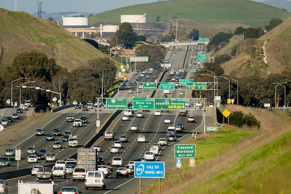
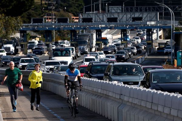
I-80 CONGESTION RELIEF
Corridorwide
A series of projects that will improve HOV operations, enhance transit access, improve transit travel times, and move more people
through the corridor
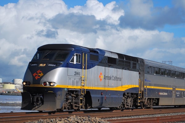
HERCULES HUB
Hercules
A multimodal center that connects intercity rail, local and regional buses, and transbay ferry service, while providing access for pedestrians and bicyclists along the Bay Trail

WEST COUNTY FERRY SERVICE
Richmond & Hercules
Expansion of CCTA-funded service to/from Richmond and a study of possible expansion to Hercules
I-80/SAN PABLO DAM ROAD INTERCHANGE IMPROVEMENTS
San Pablo
New or reconstructed ramps, roadways, bridges, and crossings to increase safety and capacity and improve bicycle and pedestrian access

I-80/CENTRAL AVENUE INTERCHANGE IMPROVEMENTS
El Cerrito, Richmond
A realigned roadway, relocated traffic signals, and other intersection improvements to increase safety and traffic flow along Central Avenue
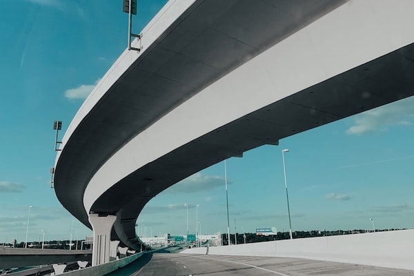
RICHMOND- SAN RAFAEL FORWARD
Richmond
A new I-580 westbound HOV lane, open road tolling, improved bicycle and pedestrian access, and commuter programs (including e-bike incentives) to reduce congestion and expand travel options

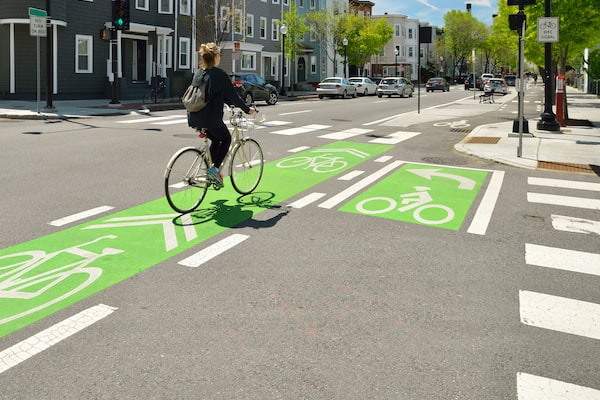
SAN PABLO AVENUE CORRIDOR IMPROVEMENTS
El Cerrito, Richmond & San Pablo
Improved bike and pedestrian crossings, accessibility, bus stops, and street enhancements at more than 40 intersections to increase safety and transit access along the San Pablo Avenue corridor
RUMRILL BOULEVARD/ 13TH STREET COMPLETE STREETS
San Pablo & Richmond
Street enhancements like improved bus stops, sidewalks, pedestrian crossings, and bicycle paths to calm traffic and improve safety
